Article
Shared Rivers, Shared Risks: How Benelux+ Regions are Learning From Extreme Floods
Across the Benelux+ region (Belgium, the Netherlands, Luxembourg, and Germany), the July 2021 floods revealed not only the destructive force of extreme hydrological events, but also the deep interconnections between neighbouring river basins, communities and institutions. Wallonia, Limburg and the flood‑affected areas of in the western part of Germany each faced their own challenges as waters rose rapidly, damaging homes, infrastructure and critical services. The different regions faced many of the same recovery challenges, and the opportunity to learn across borders is crucial for building stronger and more resilient communities.
For JCAR ATRACE, which supports regional governments in strengthening preparedness for floods and droughts, these events also underline why cross‑border learning and scientific collaboration are essential. The recovery journeys of these three regions show how diverse institutional structures respond under pressure, how scientific and technical expertise supports decision‑making, and how communities adapt in the wake of unprecedented events. By examining these cases side by side, this article explores what the Benelux+ region can learn from the experience of its neighbours — not only to rebuild what was lost, but to prepare for a future in which extreme events may become more frequent and more severe.


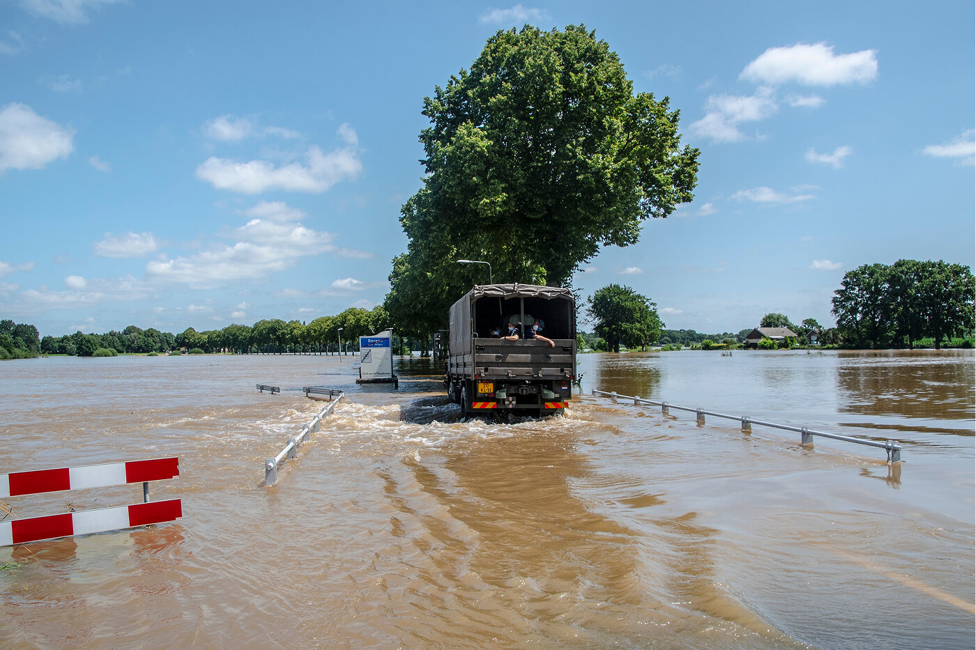
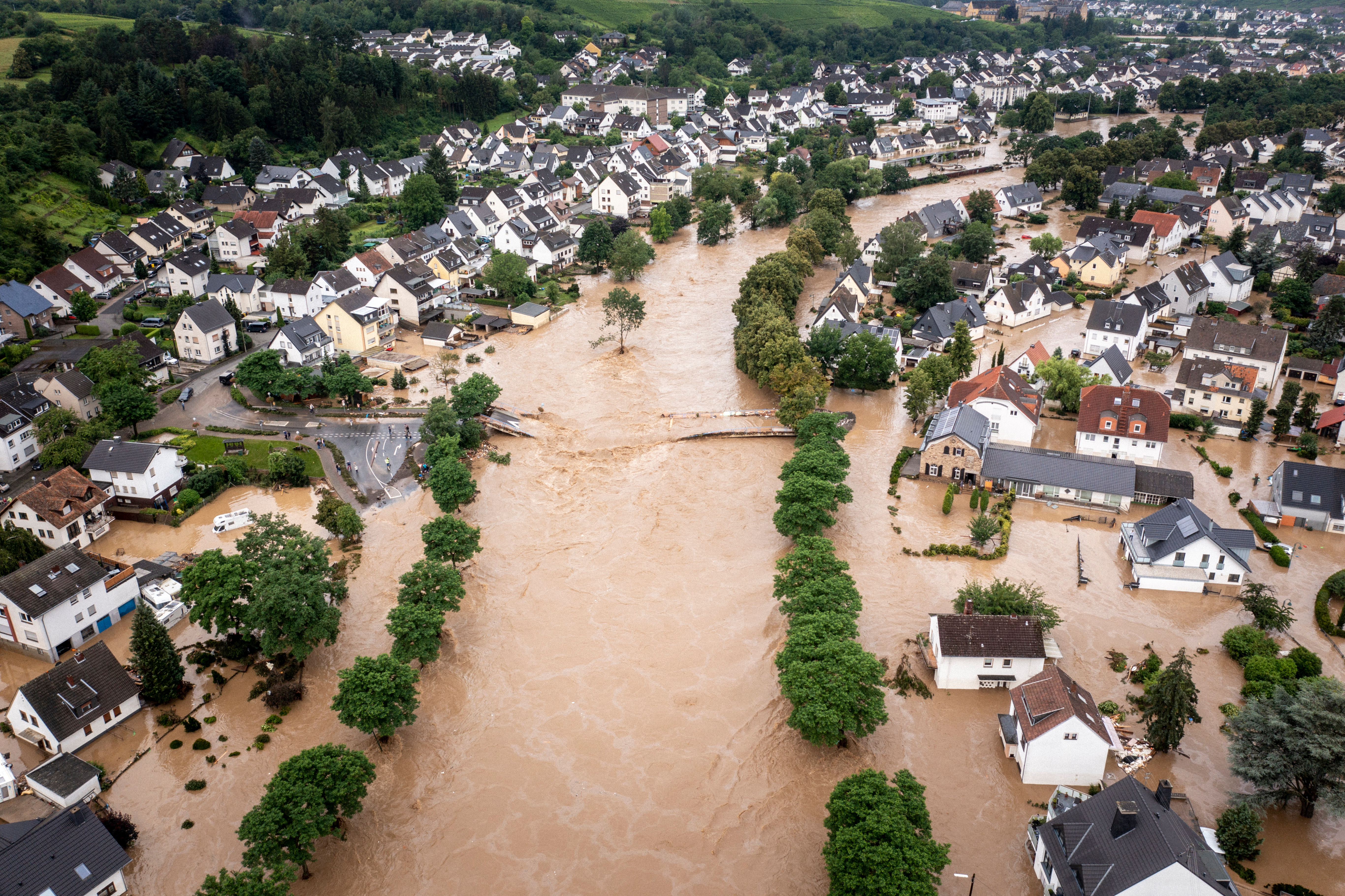
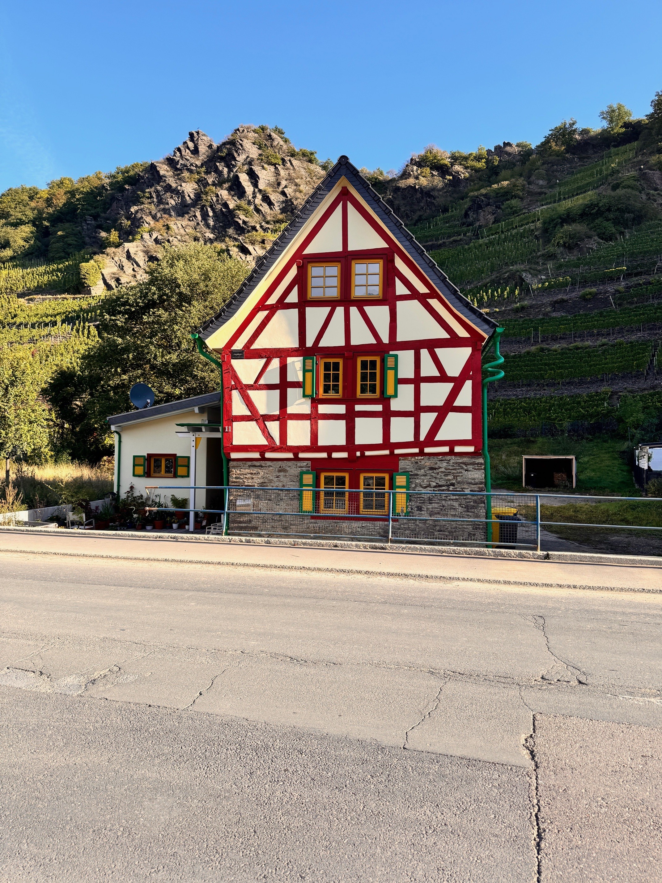
Flood conditions in the province Limburg, the Netherlands

We can run models in minutes,
but explaining these results to policymakers and residents takes time. Building shared understanding is just as essential as the technical work behind resilient reconstruction.

Pierre Archambeau
Associate Professor, Liege University
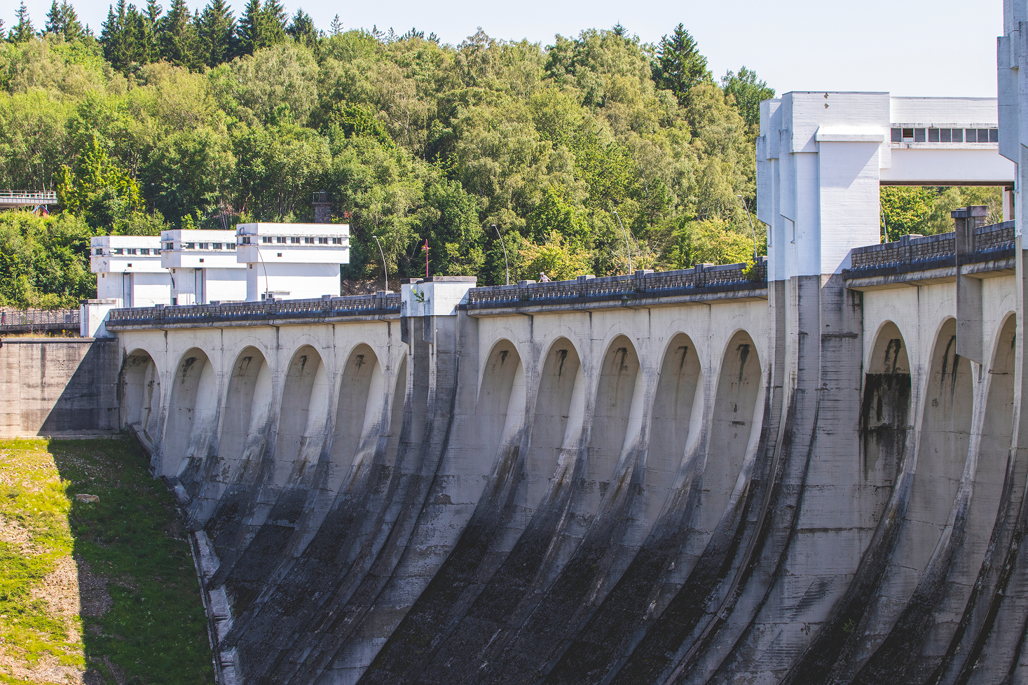
Wallonia
In July 2021, Wallonia experienced one of the most destructive floods in its recent history as torrential rainfall overwhelmed the Vesdre, Ourthe and Amblève valleys. Entire neighbourhoods were inundated, infrastructure collapsed and the hydrological monitoring network failed the moment it was most needed. The disaster exposed significant vulnerabilities in preparedness, coordination and resilience.
Up to ~200 mm
rainfall in 24 hours during the July 2021 event
39 fatalities
across Wallonia
Around 50,000
homes damaged by the floods
More than 10,000
vehicles destroyed
€
5.2 billion
total estimated damage
€
1.2 billion
state loan to close the funding gap
To understand how Wallonia responded, we draw on the perspectives of two key experts. Sébastien Gailliez, from the Wallonia Public Service (SPW), led emergency works and initial reconstruction efforts. Pierre Archambeau, a hydraulic engineer working at the University of Liège, developed the modelling tools that now guide long-term recovery.
For Gailliez, the first challenge was simply reaching the affected areas. Roads and bridges had been destroyed, forcing teams to travel by bicycle or helicopter to assess the damage. Clearing debris was delicate and often conducted under police supervision because of the risk that victims remained trapped beneath the wreckage. Riverbeds, especially along the Vesdre, had accumulated vast amounts of sediment, severely restricting flow. Meanwhile, the regional monitoring network was entirely out of service, leaving emergency responders without data as new storms approached.
The legal framework also presented obstacles. Public authorities could not intervene directly on private riverbanks or walls, even when doing so was crucial for safety. SPW therefore adopted emergency measures that allowed works to proceed immediately, with administrative regularisation following later. Despite the pressure and emotional toll, staff demonstrated exceptional commitment. Departments that did not normally collaborate closely worked side by side to restore safety and collect the data needed for future modelling. Open and transparent communication with municipalities helped maintain trust during the most difficult months.
While Gailliez focused on disaster relief in the valleys, Archambeau turned to the scientific foundations of reconstruction. A complete hydrological and hydrodynamic model of the Vesdre basin was developed jointly by SPW and the University of Liège. The model is fully non-commercial and jointly owned, ensuring long-term independence. A version adapted for graphics processors enables rapid testing of numerous reconstruction scenarios.
The real success of our work will only be tested during the next major flood. If the improvements we made protect people where lives were lost in 2021, then we can say the recovery truly succeeded.
Sébastien Gailliez
Sébastien Gailliez Acting Director of the Non-NavigableWatercourses Department, Wallonia Public Service
Municipalities, residents and engineers now use this model in an iterative process that includes consultations, scenario analysis and refinement. Producing high quality topographic data after the floods was demanding, as many areas had been reshaped and required advanced lidar surveys. Another challenge was communicating technical results to community members and policymakers with very different levels of expertise. Achieving a shared understanding of risks and options takes time but is essential for making lasting decisions.
Today, reconstruction efforts in Wallonia include redesigning bridges with greater hydraulic capacity, improving forecasting systems and updating of legislation allowing intervention on private structures during extreme events. Both experts emphasise the need for strong internal expertise within public administrations to manage future crises effectively. For Gailliez, true success will be demonstrated when the next major flood occurs and the measures taken successfully protect lives. For Archambeau, longterm resilience requires not only technical tools but also strong institutions capable of using them.
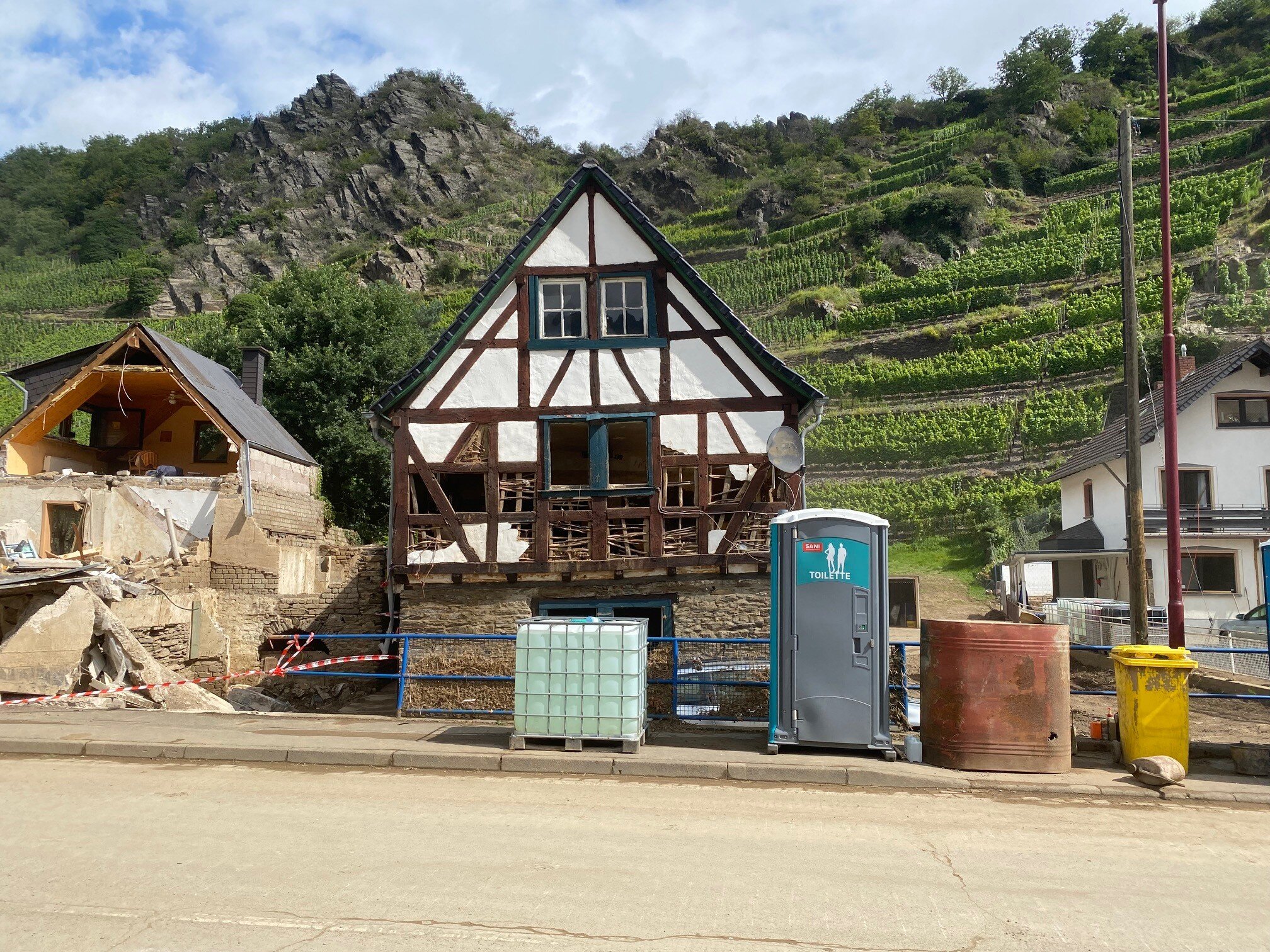
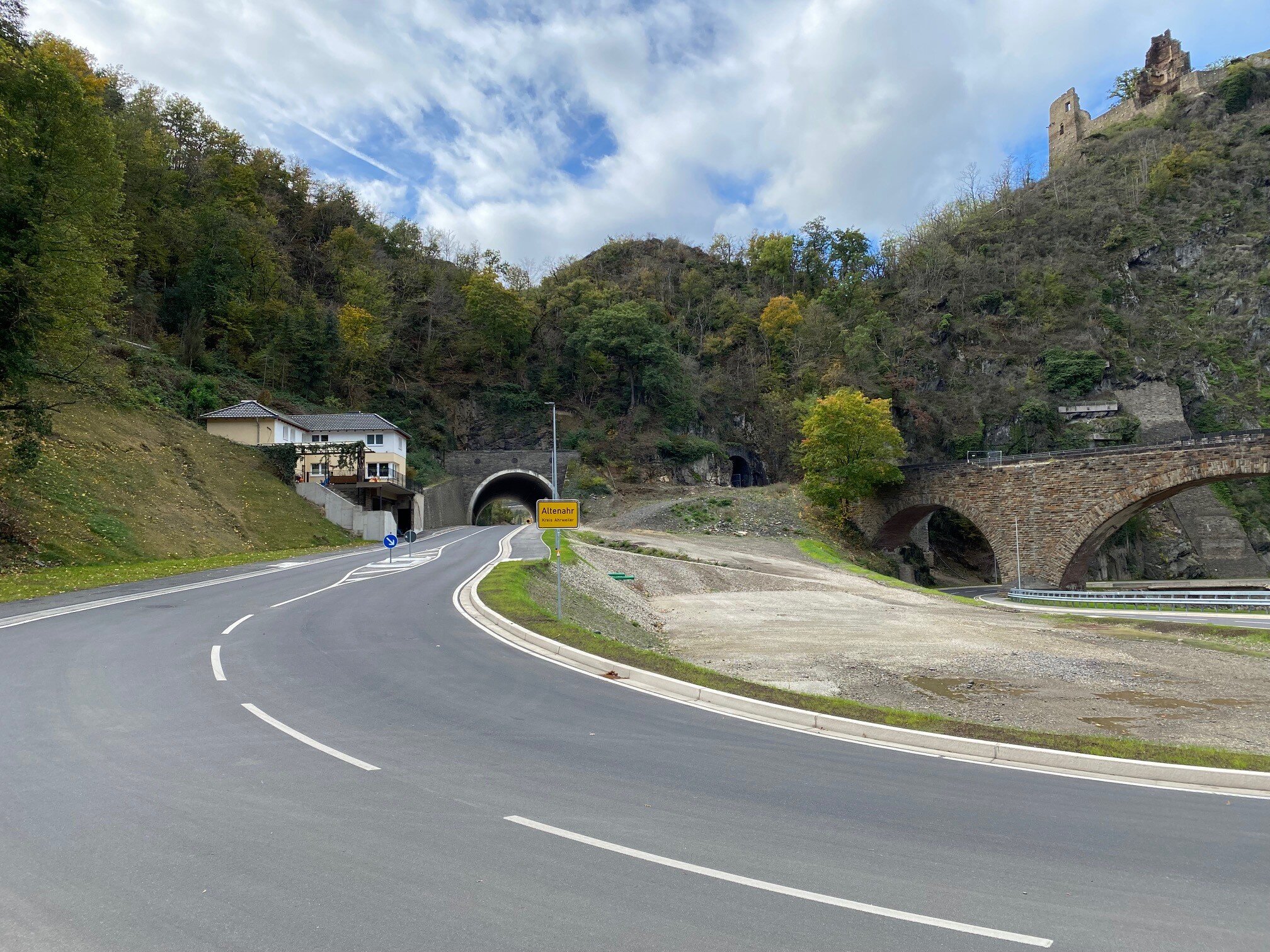
Ahr valley
In mid‑July 2021, intense rainfall over several hours triggered catastrophic flooding across the western part of Germany, with the Ahr Valley suffering the most severe impacts. The event resulted in more than 180 fatalities, widespread destruction of buildings and transport links, and long disruptions to critical networks. This section summarises what happened and how recovery choices are reshaping policy and practice.
Up to 150 mm of rain
in 15–18 hours across a wide area (14–15 July 2021)
More than 180 fatalities
most in the Ahr Valley
€
33 billion
in total damages
nationwide
over half of 112
Ahr Valley bridges destroyed
Around 9,000 buildings
destroyed or severely damaged
The event challenged some of the foundations of long-term planning. Historical flood records had underestimated exposure because extremely large floods from earlier centuries were not included in the data. Floodplains had to be recalculated from scratch before decisions on reconstruction could be made. As Professor Stefan Greiving explains, decisions about “where and how to rebuild” depend on new hazard maps that reflected the true extent of the risk.
During the early phase, restoring essential infrastructure became the top priority. Transport routes, electricity and water supply systems had to be repaired first to allow assistance to reach the affected communities. This naturally delayed the reconstruction of homes and private buildings, many of which had suffered major structural damage. Insurance systems also influenced how people rebuilt. Many homeowners who had insurance were contractually required to reconstruct their buildings in the same place and in the same form as before. By contrast, the state recovery funds allowed for structural improvements and even relocation, although these funds typically covered only part of the total costs. This created varying incentives for households and businesses, and in some cases limited the possibility for more resilient rebuilding.
We had to recalculate entire floodplains because the event exceeded everything in the historical record. That delay alone changed the pace of recovery.
Professor Stefan Greiving
Professor, TU Dortmund University
Responsibilities for emergency management in Germany are spread across multiple administrative levels, and the coordination between federal, state and municipal authorities proved difficult under such extreme pressure. New planning instruments were introduced after the floods, such as “reconstruction zones,” giving municipalities more flexibility to redesign areas more safely. While these tools came too late for many immediate decisions, they may support future recovery efforts.
The floods also highlighted how limited relocation options can be in steep valleys like the Ahr, where higher ground is often unsuitable for new development. As a result, many residents had little choice but to rebuild in place and focus on adaptation rather than relocation. At the same time, particularly vulnerable facilities, such as a school for children with disabilities, were successfully relocated to safer ground, illustrating how risk-based prioritisation can protect those most in need.
Impact of 2021 floods in the Ahr valley, Germany
Germany’s experience demonstrates how deeply recovery depends on accurate risk information, strong governance and incentives that promote safety rather than reinforce past vulnerabilities. As climate extremes become more frequent, these lessons carry important relevance for regions across Europe.
Limburg
In mid-July 2021, the southern Dutch province of Limburg experienced one of its most significant flood events in recent memory. Over a two-day period, rainfall totals reached up to 175 millimetres, overwhelming regional rivers such as the Geul, Roer, and Geleenbeek. The Meuse River, swollen by heavy rainfall upstream in Belgium, recorded a record discharge at the Dutch border (which was especially surprising for a summer event), creating additional dangerous backwater effects in downstream tributaries. Towns along the Geul, particularly Valkenburg and Meerssen, were among the hardest hit. Although the Netherlands was spared the tragic loss of life seen in Belgium and Germany, the material and economic consequences were severe.
Up to 175 mm
of rainfall in two days in parts of Limburg
128 mm
average rainfall in the Geul catchment (500‑year return period)
€
455 million
total estimated damage
The biggest challenge is keeping everyone on board, as everyone is essential in building solutions for the future.
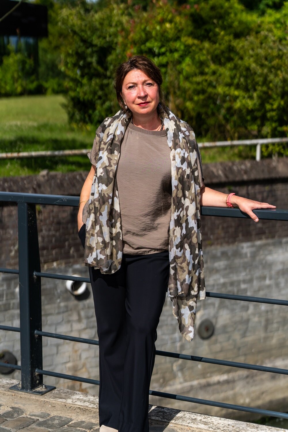
Katya Ivanova
Programme Manager, ‘Waterveiligheid en Ruimte Limburg’ (WRL)
To understand how Limburg has approached recovery, we spoke with Katya Ivanova, who coordinates the ‘Waterveiligheid en Ruimte Limburg’ (WRL) programme, and Wouter Botzen, whose research focuses on the financial impact on households and businesses. WRL is a long-term programme that aims to rethink how Limburg prepares for extreme rainfall. Ivanova highlights the challenge of involving many different actors: 31 municipalities, provincial authorities, the water board, national ministries, civil society organisations and vulnerable facilities such as care institutions. Keeping these actors aligned requires constant engagement, transparency and patience.
Botzen’s research provides a complementary perspective on recovery. His surveys show that compensation processes were often slow and complex, with people needing to navigate several different schemes for insurance and government support. Insurance payments tended to arrive more quickly, while government compensation took longer. Many households and firms faced uncertainty about what they were entitled to, and around 40 percent of total damages remained uncovered, forcing people to absorb significant losses themselves.
People often had to navigate several separate compensation systems. That uncertainty adds financial stress at the worst possible moment.

Wouter Botzen
Director of the Institute for Environmental Studies (IVM), Vrije Universiteit (VU) Amsterdam
Botzen also found that households who received insurance compensation were more likely to implement flood proofing measures afterwards. For businesses, recovery was faster when they had strong local networks, because local customers returned sooner and helped re-establish revenue. These findings show that recovery depends not only on infrastructure and institutional coordination, but also on financial clarity and the strength of social ties within the community.
The WRL programme brings these strands together. It focuses on physical measures, spatial planning and practical self-reliance. Households and businesses receive concrete tools, such as manuals for temporary barriers and simple guidance on how to respond when water enters a building. This practical support has helped strengthen awareness and preparedness across the region. Scientific analysis and long-term planning remain central. WRL carries out research to determine which measures are most effective and feasible within the legal and regulatory environment. Because new ideas often bring new questions, the programme works as a living lab, continuously adapting and sharing lessons with other regions in the Netherlands and abroad.
Coordination also extends beyond Limburg. WRL seeks collaboration at national and European levels, especially on standardisation and more efficient procedures for flood risk management. At the same time, policies such as nitrogen regulation can slow decision making, showing the need for integrated and cross sector approaches.
Together, the perspectives from WRL and from the financial experiences of households and businesses show that recovery in Limburg relies on both strong coordination and clear support systems. Improving collaboration, speeding up compensation and helping residents take practical measures will all strengthen the region’s ability to prepare for future extreme rainfall.

To conclude
The experiences of Wallonia, Limburg and the Ahr valley show that although each territory faces its own vulnerabilities, the fundamental challenges of extreme flood recovery are shared across borders: rebuilding trust, restoring essential systems, integrating new scientific knowledge and making difficult spatial decisions about where and how to rebuild. The 2021 floods exposed the limits of existing risk assessments and highlighted the need for stronger collaboration between scientific institutions, water managers, spatial planners, policymakers and local communities.
For the Benelux+ region, these cases reinforce the central message of the JCAR ATRACE programme: preparedness and resilience depend not only on infrastructure, but on cooperation. Rivers connect our territories, and so must our approaches to understanding risk, planning spatial development and responding to crises. By learning from one another across technical, institutional and social domains, the region can move beyond rebuilding and work toward a shared long-term vision for living with water in a changing climate.
Up to 175 mm
of rainfall in two days in parts of Limburg
128 mm
average rainfall in the Geul catchment (500‑year return period)
€455 million
total estimated damage